Safe Routes to School Access Guides
What is a Safe Routes to School access guide?
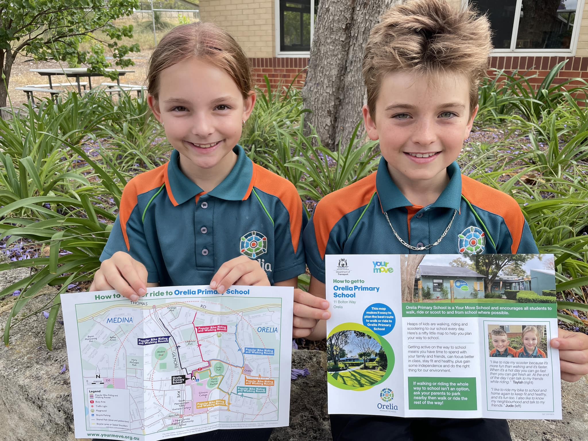
A Safe Routes to School access guide is a leaflet that maps four to five safe and popular walking, wheeling and riding routes to your school.
They're a great resource to encourage students and families of all ages and abilities, to get active for the school trip more often.
The access guides identify:
- local amenities
- ‘park and walk’ locations
- walking bus starting points
- locations of school bike parking
- high traffic areas
- crossing guard locations
- local walking and riding infrastructure.
The Your Move team creates the guides and seeks review and input from the school and local government area to determine the best routes.
Printed copies are then delivered to you, ready to be distributed to the school community.
Getting a guide
Funding for Safe Routes to School access guides has now closed, and the guides are no longer available.